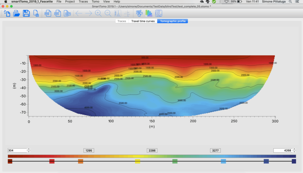
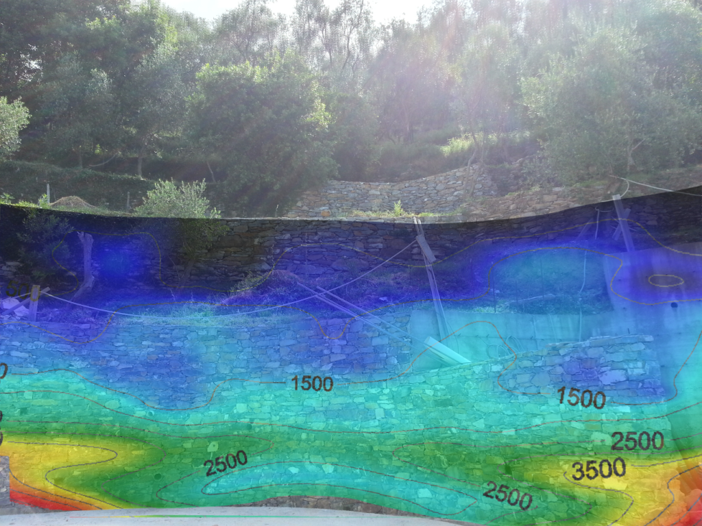
Seismic refraction tomography uses refracted seismic waves to reconstruct the underground distribution of the speed of seismic waves. This technique improves the results that can be obtained with traditional refraction seismics and prevents problems of interpretation due to reversed velocity layers or reduced thicknesses as well.
Seismic refraction tomography is applicable to all those situations in which it is necessary to map the variations of speed (and of “stiffness”) in the subsoil. It is not particularly suitable for less complex situations, where the site to be investigated simply consists of a uniform soil cover placed on a very fast bedrock. In these cases, traditional refraction better identifies the passage between the topsoil and the bedrock (refractor).
From an executive point of view, the survey is carried out in the same way as the traditional refraction test. The only difference is the needed number of energisations which, in the case of the tomographic test, must be higher to ensure greater coverage.

The inversion procedure consists of the generation of an initial simplified model (often this procedure is automatic) then the arrival times of the seismic waves in the model are calculated and the times are compared with the measurements actually recorded. Based on the errors between measured and computed, the model is updated and the procedure is repeated until a reliability threshold is reached.
This type of test has been successfully applied in the reconstruction of the geometry of landslide bodies, landfills and in the survey of stratigraphy of sites on which civil engineering works were being planned.
Our smartTomo software is available for the tomographic processing of seismic data.
References:
ARPAL SUPPORT FOR MANAGEMENT OF THE REGIONAL NETWORK FOR HILL-SLOPE MONITORING, G. Beccaris; F. Di Ceglia; S. Pittaluga; E. Scotti; EUREGEO 2012 (PDF)

